The maps are drawn at four different scales. Scale bars are provided in
metric and UK units at the top and bottom of the maps. The largest scale map, which is presented on
the home page, takes in the entire Solar System Model in one frame. By
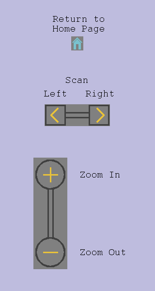
clicking on the Zoom In (+) symbol or on the map itself, you will reach
one of five maps at the next largest scale, each of which shows a section
of the SSM. To move between maps at the second scale, click on the scan
buttons on the panel. Please note that, on the larger scale maps, the
orbits of the four inner planets (Mercury, Venus, Earth and Mars) are too
small to be individually named.
From the second level of scale, images and data for the three outer bodies
(Uranus and Neptune and Pluto) can be accessed directly by clicking on
their map locations. The images show the locations of the bodies in the
model and their sizes relative to that of a person. Clicking on the other
planets or the Sun takes you to the third scale of map, which covers
Wollaton Park. From this level images of Jupiter and Saturn can be called
up, while clicking on the Sun brings up the smallest scale map which shows
the gardens behind Wollaton Hall. This map gives access to images of the
inner planets (Mercury, Venus, Earth and Mars) and the Sun.
The information provided for each of the Solar System bodies is as
follows:
location on the ground (latitude, longitude, and grid reference)
actual size of the body, its mean distance from the Sun, and the
eccentricity of its orbit
names of the moons represented in the images, and mean distances
from their planet
Please note that, on the maps, the orbits of the planets are shown as
circles, whereas in reality they are elliptical with the eccentricity
given in the data. The radii of the circles represent mean distances from
the Sun.
The route of the SSM walking tour, as described in the Walk Guide, is shown on the maps as a line
of green dots.